Msasa Infrastructure Router MIR
The Router makes it easy to design and accelerate route development and planning of large scale linear infrastructure.

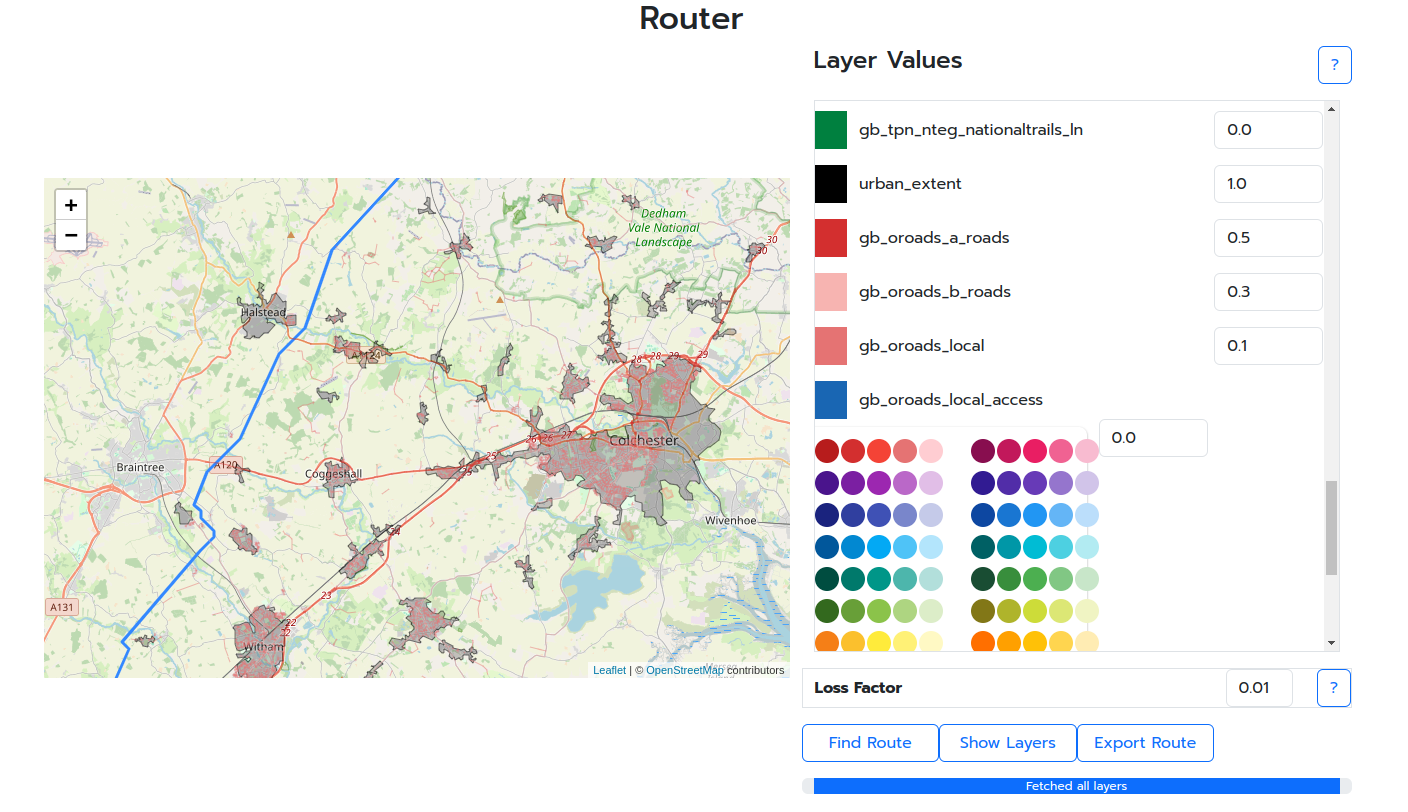
Routes are planned using an AI geospatial routing algorithm to create an optimal route.
MIR is capable of finding the least cost path between two points on both land and sea, taking into consideration the layers on the map e.g. urban areas, utilities, conservation areas.
The Infrastructure Router finds smart routes for linear infrastructure (e.g. power lines, pipelines, road, rail, irrigation) across a map.
Simply input the start and end points as well as the relative cost to cross through each relevant data layer, run the router to find an optimal route for and have the result under a minute.

The fast runtime means more scenarios and corridor options can be tested at low cost and be used on smaller projects as well.
Civil engineers, infrastructure developers and planning authorities will benefit from using MIR to model engineer competing routes for projects and proposal quickly and cheaply.
Sign up now for a free trial Sign-up
To find out more and schedule a demo: Contact us